The FIREBOX project
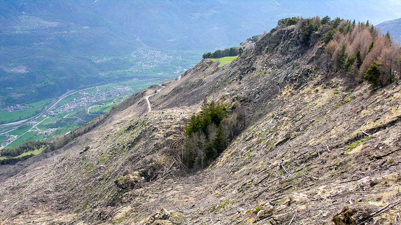
Wildland fires threaten ecosystems, people and communities in Italy. Several studies predict an increasing frequency of wildfire occurrence and severity. The protection of forest ecosystems, as well as residential areas and people, requires coordinated actions.
Achieving a widespread use of advanced tools to support fire management in Italy, and promoting an integrated wildfire risk management across administrative boundaries, require harmonized and updated data and geographical layers, parameterization and harmonization of broad scale inputs for modeling applications, and accessibility of modeling tools to land management agencies and professionals.
FIRE-BOX has the objective of preventing and reducing loss of life and damages to humans and the environment caused by wildfires through the development of a standardized wildfire risk management toolbox. To this end, the project will make available three open access tools for innovative, harmonized and science-based wildfire risk management in Italy:
(1) A Fuel tool, consisting in a wall-to-wall fuel map at national scale, including the quantitative characterization of fuel types and their parameterization to enable use of mechanistic fire behavior modeling systems;
(2) A Fire severity tool, consisting in a database of wildfires occurred in Italy 2007-2022, where each wildfire will be characterized by fire weather data, fire severity assessment, and fire emission estimates;
(3) A Fire Risk box, consisting in a modeling tool able to simulate wildfire propagation, estimate wildfire hazard, assess vulnerability and exposure, and support wildfire prevention and risk mitigation in Italian National Parks.
(4) All tools will be disseminated using a Web box tool to provide access, consultation and dissemination of project results to a wide spectrum of users and target audiences.
The innovative trait of these tools lies, on one hand, in making available open access and nationally harmonized data and tools that are not currently available or inconsistent, and on the other hand, in providing wildfire land management organizations and agencies with science-based risk forecasts.